I'm still building this
page, please check back soon for more pictures.
About this page and the Class
This web page offers a few pictures and descriptions from a series hikes lead by Jane Meissner in the spring of 2003. This class highlighted some of Central Oregon's best wateralls and was offered through the Central Oregon Community College Community Education program.
To view a larger version of a picture, click on its thumbnail below. Then, to return to this page, use the browser back button.
Schedule of Hikes
- April 28, Paulina Creek from McKay Campground to Ten-Mile Snowpark
- May 5, Fall River Falls, La Pine State Park
- May 12, Tokatee Falls plus Surprise, Columnar, and Watson Falls along the North Umpqua River
- May 19, Corbett State Park near Santium Pass
- May 26, Salt Creek Falls and Diamond Falls near Willamette Pass
- June 2, Tamolitch Falls (the un-waterfall), Sahalie & Koosah Falls on the McKenzie River
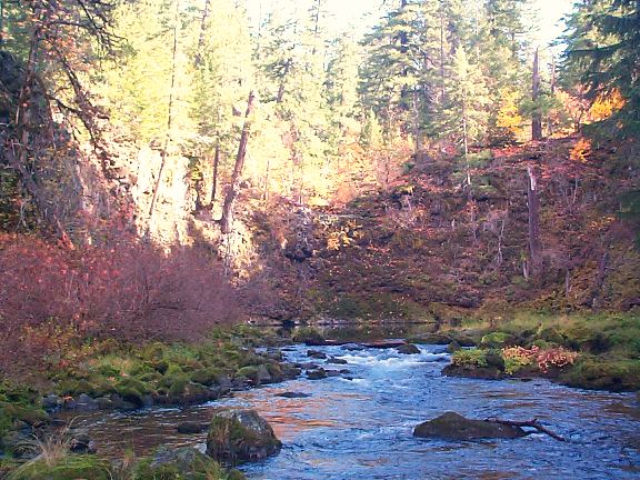
Paulina Creek, April 28, 2003
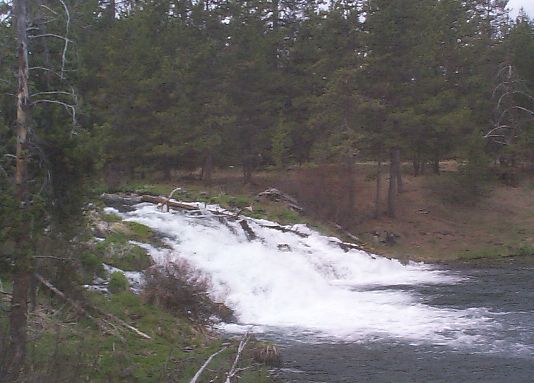
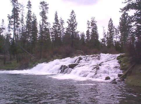
xxxFall River Falls, May 5, 2003
 |
 |
 |
 |
Tokatee Falls, May 5, 2003
xxxCorbett State Park, May 19, 2003
xxxSalt Creek Falls, May 26, 2003
xxxTamolitch Un-Falls, June 2, 2003
omolitch is a waterfall that's not. In this area, the McKenzie River travels for several miles underneath a lava flow. The river emerges here from a beautiful deep blue pool at the base of a cliff which would form the fall. There is a riverbed upstream on top of flow. In years of exceptionally high snow melt the river can, for a brief time, flow above ground creating an actaully waterfall here. This is very rare and made even less probable by the fact that the better part of the McKenzie's flow is diverted at Carmen Reservoir several miles up stream to generate electrical power for Eugene (EWEB).
Here are two pictures of Tamolitch in autumn. These were taken in late October 2000. The first is looking down river from the top of the "falls." The second is from the outlet to the pool looking back towards the fall's lava cliff.